File:RijndamMap3.png
Jump to navigation
Jump to search

Size of this preview: 699 × 600 pixels. Other resolution: 830 × 712 pixels.
Original file (830 × 712 pixels, file size: 64 KB, MIME type: image/png)
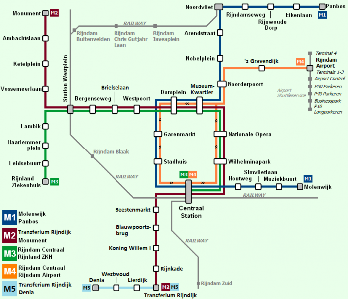
Rijndam 2018 Map, made by Sjoerd.
File history
Click on a date/time to view the file as it appeared at that time.
| Date/Time | Thumbnail | Dimensions | User | Comment | |
|---|---|---|---|---|---|
| current | 18:16, 31 May 2017 | | 830 × 712 (64 KB) | Sjoerd (talk | contribs) | Rijndam 2018 metro map, with Railway lines |
| 09:08, 25 January 2017 |  | 815 × 699 (51 KB) | Sjoerd (talk | contribs) | Rijndam 2018 metro network. Line M5 was added since the last version of this map. | |
| 21:03, 1 January 2017 |  | 815 × 699 (49 KB) | MetroSimGermany (talk | contribs) | Rijndam 2018 Map, made by Sjoerd. |
You cannot overwrite this file.
File usage
The following 3 files are duplicates of this file (more details):
.png)
There are no pages that use this file.