New map idea
Posted: 25 Mar 2018, 19:36
I've decided to create a metro map that reality is mixed with an alternative dimension. What I'm talking about is the Northern Heights plan for the London Underground in the 1930s. This was originally designed to electrify all steam lines in the north London area to High Barnet and Alexandra Palace along with extending one beyond to Bushey Heath, where a massive depot would be built to house tube stocks. All this would've been completed by 1948.

Work did start but unfortunately was uncompleted, not only to the Second World War but afterwards passenger numbers dropped on the steam lines and an argument with the government over the section between Edgware and Bushey Heath led to the project scrapped and the remaining electrified parts to High Barnet and Mill Hill East still operate to this day.
This was interesting to me as it shows how a different London would look in 1963 (chosen this year because not only would it be 100 years of LU but the 1956/59 stocks would've been built by then so it's interesting play with more rolling stock in it). The map would be the whole Northern line so there can services from Morden or Kennington via Strand (Charing Cross didn't open until 1979 for an interchange with National Rail, Bakerloo and Jubilee line) or City (later renamed to Bank) branches to the termini above as well as Moorgate to Alexandra Palace via Highgate (High Level).
This seems radical to you all though it is less needed to research as it's mainly miles and miles of tunnel in the central area.
Anyway, this is just my idea so there's extreme little chance of it being made. I'm not demanding Sjored or Michiel making it but my ideas would be created, whether there'll be a release to a map editor or not.
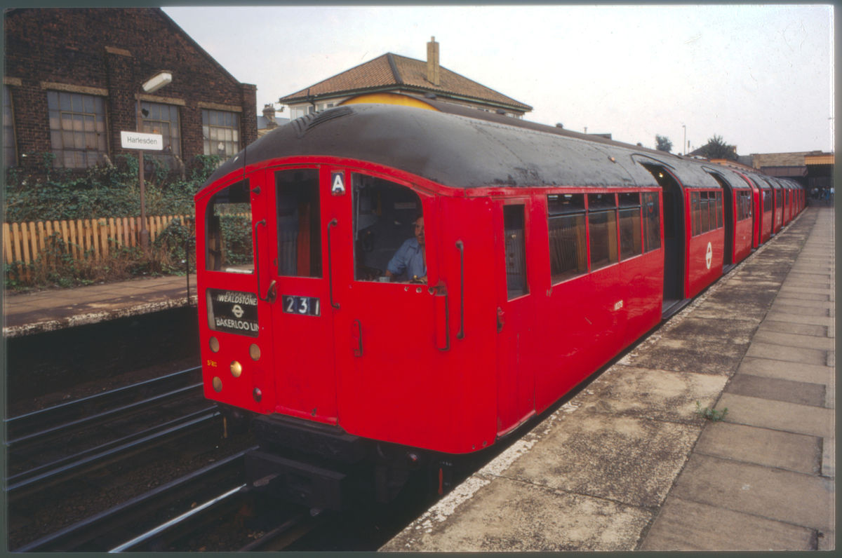
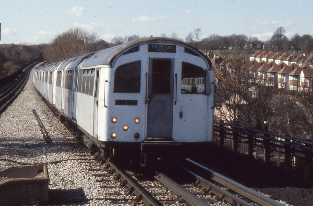
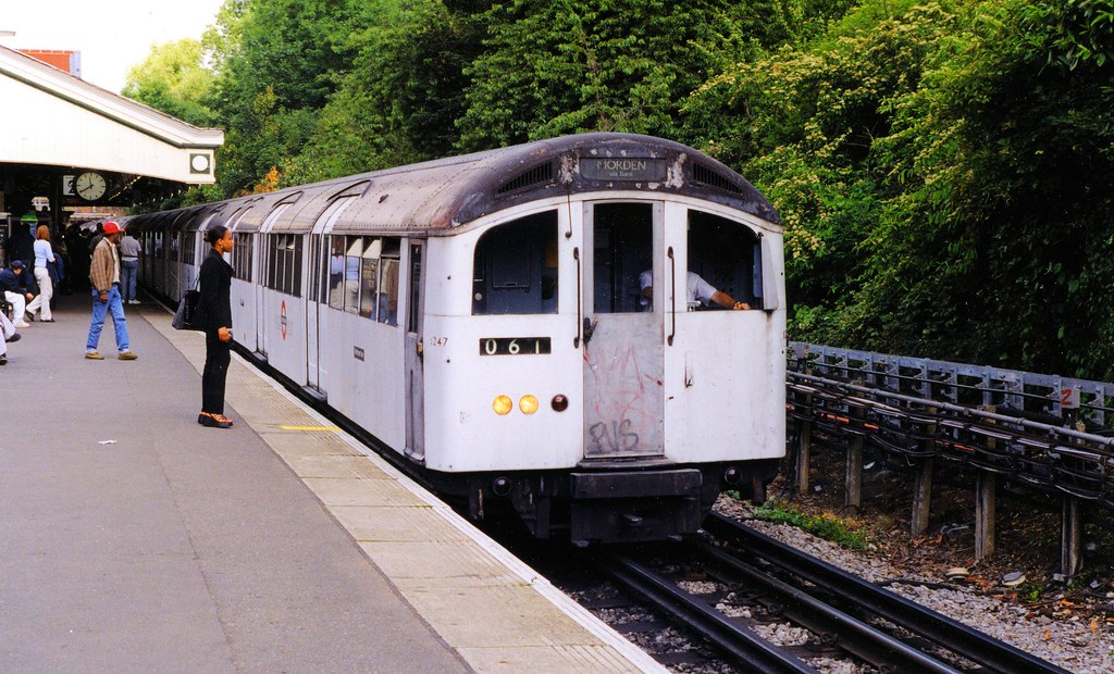
Image by Going South.
If anyone want to learn more about this, here's some websites and a video:
http://underground-history.co.uk/northernh.php
https://en.wikipedia.org/wiki/Northern_line
https://www.youtube.com/watch?v=4IuUOhp8Guc&t=135s
Or another type of a very funny yet interesting video which details closer of the Bushey Heath branch by Jay Foreman:
https://www.youtube.com/watch?v=jjuD288JlCs
Work did start but unfortunately was uncompleted, not only to the Second World War but afterwards passenger numbers dropped on the steam lines and an argument with the government over the section between Edgware and Bushey Heath led to the project scrapped and the remaining electrified parts to High Barnet and Mill Hill East still operate to this day.
This was interesting to me as it shows how a different London would look in 1963 (chosen this year because not only would it be 100 years of LU but the 1956/59 stocks would've been built by then so it's interesting play with more rolling stock in it). The map would be the whole Northern line so there can services from Morden or Kennington via Strand (Charing Cross didn't open until 1979 for an interchange with National Rail, Bakerloo and Jubilee line) or City (later renamed to Bank) branches to the termini above as well as Moorgate to Alexandra Palace via Highgate (High Level).
This seems radical to you all though it is less needed to research as it's mainly miles and miles of tunnel in the central area.
Anyway, this is just my idea so there's extreme little chance of it being made. I'm not demanding Sjored or Michiel making it but my ideas would be created, whether there'll be a release to a map editor or not.
Image by Going South.
If anyone want to learn more about this, here's some websites and a video:
http://underground-history.co.uk/northernh.php
https://en.wikipedia.org/wiki/Northern_line
https://www.youtube.com/watch?v=4IuUOhp8Guc&t=135s
Or another type of a very funny yet interesting video which details closer of the Bushey Heath branch by Jay Foreman:
https://www.youtube.com/watch?v=jjuD288JlCs